

Sunbury is a community in east-central Gates County, 39 feet above sea level, that grew up where roads crossed1. It has never been incorporated. The Census Bureau draws a statistical boundary around it, 2.45 square miles of land that held 276 people in 20202, but there is no town hall, and its history has to be pieced together from travelers, mills, postmasters and schools.
1758–1786 Granby's on the Post Road
A road ran south from Suffolk, Virginia, through Corapeake and the ground where Sunbury now stands well before the county existed3. When North Carolina's first post route opened in 1758, running from Suffolk to Edenton and on to Wilmington, the 1916 county historian Isaac S. Harrell thought it probably took a more westerly path through Somerton and Sarum, though he granted that the road through Corapeake and Sunbury was shorter and that travelers' accounts show it in use4.
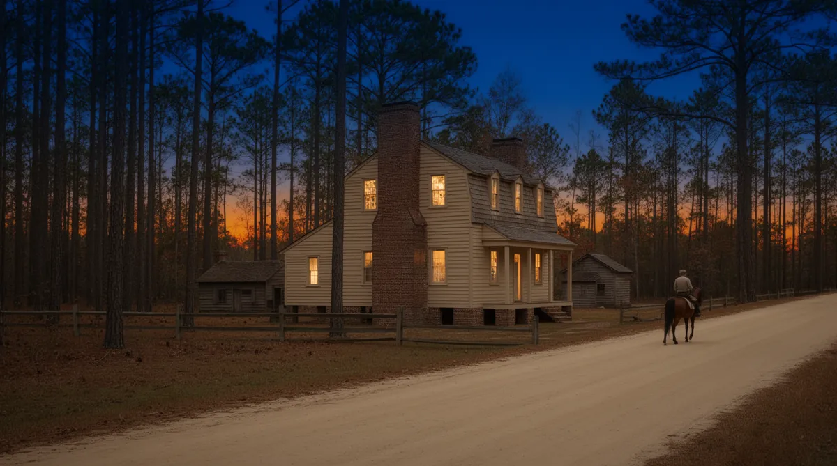
One of those travelers was Elkanah Watson, whose memoirs of his journeys were published in 1856. Riding from Suffolk toward Edenton in the autumn of 1777, he described a wide, level road through pine forest along the northern edge of the Great Dismal Swamp, which he said was then a hiding place for Loyalists and for people who had escaped slavery. He crossed into North Carolina late in the day and spent the night with a Mr. Granby, "a wealthy planter and merchant," who told him about Lake Drummond in the middle of the swamp and about a plan Washington and others had once considered to drain it with a canal5.
Watson came back in the spring of 1786. With no other transport out of Suffolk he rode in a returning coal cart behind one tired horse, two hours in heavy rain and darkness, to the house of "Mr. Granby, a wealthy planter of Gates County." He found a dance under way and a host who did not remember him and was slow to take in a muddy stranger, though with no tavern for miles Granby relented. When Watson passed that way again the following summer, in a cocked hat and a blue coat with a velvet cape with his attendant, Mills, riding beside him, Granby received him, in Watson's words, as he might have received a general6. Harrell, retelling the story in 1916, put the second visit five years after the first; the memoir's own dates make it nine7.
Harrell adds that Granby was among the richest men in the county and lived about where Sunbury is now, that the settlement around him was at first called Granby, and that it later became Sunsbury and then Sunbury. In his day a bridge near the village still carried the Granby name7. A 1978 state park plan repeats that Granby lived on the present site of Sunbury3.
1720–1801 Costen's Mill & Hunters Millpond
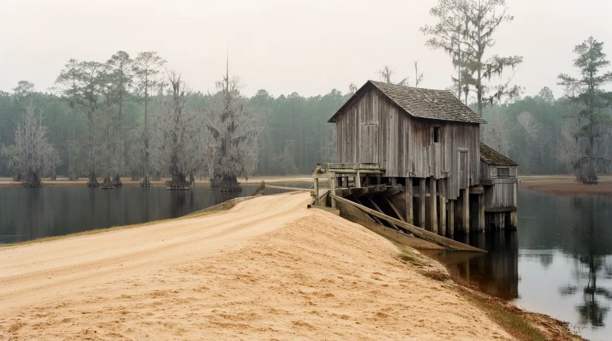
William S. Powell's North Carolina Gazetteer tells Sunbury's origin a different way. It says the community began at a nearby mill, Costens Mill, which John Collet's 1770 map of North Carolina labels Constants Mill, and that the mill's owner moved to the present site of Sunbury when the road was rerouted18. Harrell's Granby story and Powell's mill story are not necessarily in conflict. Both describe a place that formed around whoever kept the store, the mill or the big house on the road, and both have the settlement following the road.
The name stuck to the neighborhood. On March 11, 1799, the Methodist bishop Francis Asbury wrote in his journal that he rode from Gates Court House to "Constants chapel, on one of the branches of Bennett's creek," stayed at Isaac Hunter's, and held an evening meeting with Black worshippers9. Harrell, citing the journal, places another visit to Constant's in 180110. Members of the Costen family later served as Sunbury's postmasters and as trustees of its academy1112.
A second, older mill stood just south of Granby's. The 1978 master plan for Merchants Millpond State Park describes Hunters Millpond, built before 1720 where Raynor Swamp and Harrell Swamp join at the head of Bennetts Creek, and says its dam was destroyed in 1922 when Highway 32 was built3. The park's 2017 management plan dates the pond more loosely to the early 1700s and agrees that road building ended it in 192213. Farther down the same creek, a later dam made Merchants Millpond, whose story has its own page.
1816–1832 Sunbury, Folly, Sunsbury
The village had a post office by 1816. The North Carolina Postal History Society's catalog for Gates County lists George Gilbert Gray as Sunbury's first postmaster, appointed February 12, 1816. For a few months the office went by another name: the catalog records it as Folly from December 13, 1827, with Richard Ballard as postmaster, until the Sunbury name returned on March 10, 1828. Later postmasters included Henry Costen in 1830 and William E. Costen in 1839, and the catalog files the office under two spellings, Sunbury and Sunsbury11. Harrell also mentions a township known early on as Folley, later Holly Grove, which may explain the borrowed name14.
1830–1860 Academies and Churches
In 1832 the General Assembly passed an act "to incorporate the Sunsbury Academy in the County of Gates," naming fourteen trustees, among them Henry, James and George Costin, Willis Riddick and Isaac R. Hunter. Harrell writes that the academy at first took both boys and girls, that the arrangement lasted only about seven years, and that it was followed by a private boarding school for girls in the yard of the George Costen place, with three teachers and a music teacher, two pianos and lessons in French, while boys studied about a mile and a half away at the Gorden home under a Yale graduate named Kellogg12. The 2009 National Register nomination for Sunbury High School adds a female seminary founded at Sunbury in 1852 by James Coston and lists a Riddicksville Academy near Sunbury from 184215.
Churches grew up alongside the schools. Harrell traced the Methodist congregation at Sunbury, called Philadelphia, to a colonial-era chapel, and found trustees appointed for a church there after 1815, though no deed or building date16. He also recorded the local account of how Damascus, the only Christian Church congregation in the county before the Civil War, began around 1830: two brothers who belonged to Philadelphia quarreled over a ladder, and families split between the old church and the new one. Harrell flagged that story as tradition17.
1880s–1940 The Narrow-Gauge Years
Sunbury's next connection was a railroad. The Suffolk and Carolina Railway, a narrow-gauge line built south from Suffolk between the mid-1880s and 1902, carried crops and timber out of northeastern North Carolina. In the North Carolina Corporation Commission's railroad returns for 1904, as transcribed by a state railroad history site, Sunbury is the second North Carolina station on the line after Corapeake, followed by Bosley, Trotville and Hobbsville on the way to Edenton18.
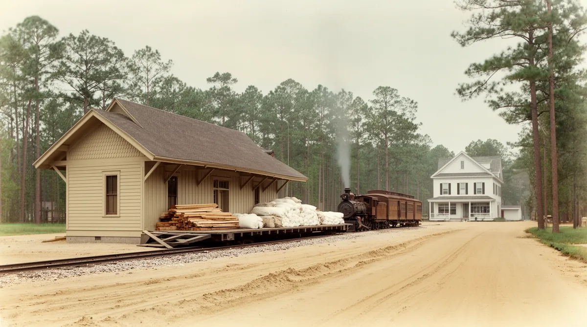
The line did not last as long as the county's railroad era. A Virginia railroad history site reports that the Suffolk and Carolina was folded into the original Norfolk Southern Railroad in 1906 and that the Edenton–Suffolk track was abandoned in 194019. The county government says rail service through Gates County ended in 197920, which points to a different line elsewhere in the county; the county's page does not name that line.
1906–1997 Sunbury High School
The building most people now connect with Sunbury is its school, and the 2009 National Register nomination tells its story in some detail. The county bought land for a public school at Sunbury in 1906 and built a one-story frame schoolhouse in 1908. A two-story brick Neoclassical school followed around 1924. By 1936 the state's director of schoolhouse planning, W. F. Credle, had inspected it with an architect and a contractor, called its parapet a menace, warned that the arch over the auditorium stage could fall, and recommended that it be abandoned. Voters approved up to $45,000 in bonds in 1937, and the new school was in use by 193821.
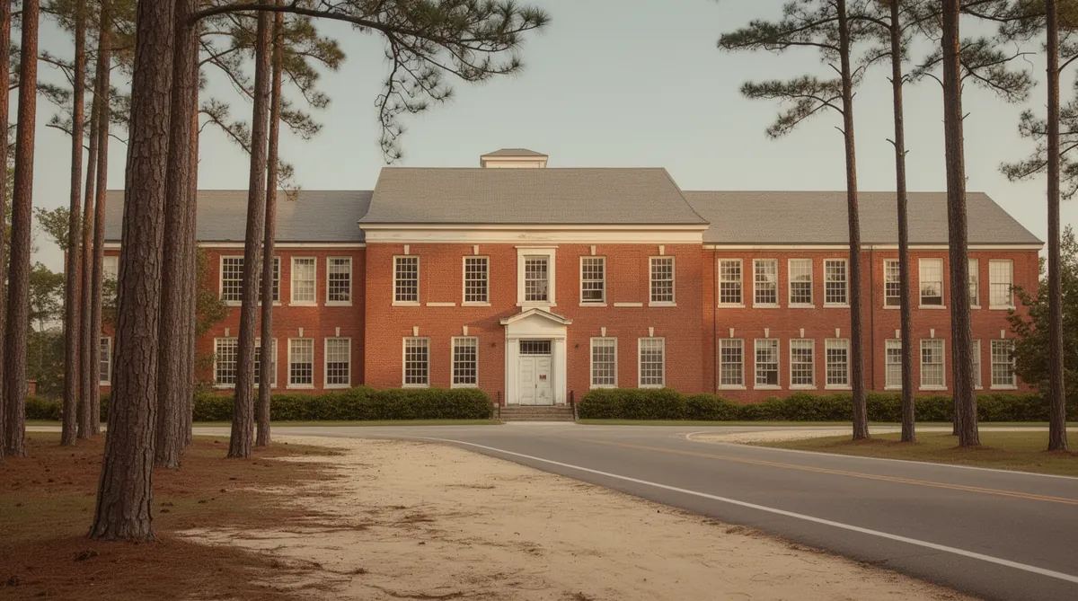
The campus filled out over the next two decades: a teacherage in 1940, where teachers, usually single women, could rent rooms cheaply; a gymnasium in the winter of 1950–51; and a home economics and agriculture wing in 1960. A frame agriculture building from 1908 was moved about 200 feet in 1937 and kept in use. The school added a twelfth grade in the early 1940s, graduated its last high school class in 1962 when Gates County High School opened, and served as an elementary school until it closed in 1997. When the nomination was written it stood vacant, still owned by the county, and had been damaged by Hurricane Isabel in 200321. It was listed on the National Register on May 12, 200922. Its current use is not recorded in the sources above; the county can say how the building is used today.
Gates County's schools were segregated through these decades. The 2011 nomination for Reid's Grove School in Gatesville records that Black students from the Gatesville area went on after the eighth grade to a separate school in Sunbury, the T. S. Cooper Training School, until it burned in the 1940s, and that the county's schools were not integrated until well into the 1960s23. The Gatesville page has more on that school system.
Present Sunbury Today
Sunbury is still organized around its crossroads, where NC 32 meets Highway 158, with houses and businesses mixed along both roads24. Merchants Millpond State Park lies about five miles to the west along Highway 158, between Sunbury and Eason's Crossroads3. The 2024 postal catalog shows the office that opened in 1816 still in service, converted to a part-time post office managed remotely from South Mills11.
For a buyer, that makes Sunbury simpler than Gatesville in one respect: there is no town line to check. The commuter cost chapter covers the county tax rate and the flat fees that ride on the tax bill, and the building chapter covers county zoning and permits. Unincorporated Gates County is mapped by FEMA as a single flood-insurance community with a current effective map dated December 21, 201826; check any parcel on the state's flood map viewer, and read the wells and septic chapter before you assume a lot near the swamps will take a septic system. A Sunbury mailing address can also reach well beyond the census boundary, so confirm the parcel's location rather than the envelope.
Primary Sources & Further Reading
Isaac S. Harrell, "Gates County to 1860" (1916)
The early county history that preserves Watson's account of Granby, the academy charters and the church traditions.
Sunbury High School nomination (2009)
The State Historic Preservation Office's National Register file on the school campus and the community's schools.
Gates County postmark catalog (2024)
The North Carolina Postal History Society's list of every Gates County post office and postmaster.
Sunbury has no state highway historical marker and no published town history that I could find, so this page leans on Harrell's 1916 county history, Powell's gazetteer, postal records and two National Register nominations. Where the record is tradition rather than document, the text says so. Harrell's own sources include family papers and interviews that have not been published; his account of Granby rests on Watson's memoir.
- William S. Powell, The North Carolina Gazetteer, entry "Sunbury": "community in E central Gates County. Alt. 39. Had its origin at nearby site of Costens Mill, which appears as Constants Mill on the Collet map, 1770. Owner of the mill moved to present site of Sunbury when the road was rerouted. Probably named for the city in Pennsylvania," as published on NCpedia, ncpedia.org/gazetteer/s?page=153, read October 24, 2026. ↩
- U.S. Census Bureau, 2020 Census Redistricting Data (P.L. 94-171), North Carolina, Sunbury CDP (place 3765700), total population 276; 2020 Census Gazetteer, places, North Carolina, Sunbury CDP, land area 2.45 square miles. ↩
- N.C. Department of Natural Resources and Community Development, Division of Parks and Recreation, Merchants Millpond State Park Master Plan (dated February 20, 1978), sections "Merchants Millpond" (location between Sunbury and Eason's Crossroad) and "Merchants Millpond History" (the pre-1758 road, Granby, Hunters Millpond), archive.org. The five-mile distance in the last section is my own straight-line calculation between the park's published coordinates (36.4371, -76.7016) and the 2020 Census Gazetteer point for the Sunbury CDP (36.4469, -76.6127). ↩
- Isaac S. Harrell, "Gates County to 1860," Historical Papers of the Trinity College Historical Society, Series XII (Durham, 1916), p. 61; digitized by East Carolina University, digital.lib.ecu.edu/13570. ↩
- Elkanah Watson, Men and Times of the Revolution; or, Memoirs of Elkanah Watson, ed. Winslow C. Watson (New York: Dana and Company, 1856), pp. 36–37 (journey begun from Providence in September 1777), archive.org. ↩
- Watson, Men and Times of the Revolution, as in note 5, pp. 247–248 (the journey begun from Newport in March 1786, and a third visit "in the succeeding summer"). ↩
- Harrell, as in note 4, pp. 62–63 and footnote, quoting Watson's memoir (Harrell cites pp. 45 and 361 of the edition he used). ↩
- John Collet, A Compleat Map of North-Carolina from an Actual Survey (London: S. Hooper, 1770), Library of Congress Geography and Map Division, loc.gov. The "Constants Mill" reading is Powell's (note 1). ↩
- The Journal of the Rev. Francis Asbury, Bishop of the Methodist Episcopal Church, from August 7, 1771, to December 7, 1815, vol. II (New York: N. Bangs and T. Mason, 1821), p. 340, entries for March 10 and 11, 1799, archive.org. ↩
- Harrell, as in note 4, section on the Methodist churches, citing Asbury's journals. ↩
- R. F. Winter, North Carolina Postmark Catalog: Gates County, North Carolina Postal History Society (August 15, 2024), entries "Sunbury, Sunsbury, name changed from Folly" and "Folly, name changed from Sunbury," ncpostalhistory.com (PDF). The catalog's appointment table is printed in narrow columns; the dates given here are the ones the Folly entry states directly. ↩
- Harrell, as in note 4, section on education, citing Private Laws of North Carolina, 1832, Chapter 65, and local tradition. ↩
- N.C. Department of Natural and Cultural Resources, Division of Parks and Recreation, Merchants Millpond State Park General Management Plan (May 2017), section II, "History," ncparks.gov (PDF). ↩
- Harrell, as in note 4, introduction (the township "known in the early days as Folley and later as Holley Grove"). The link between the township name and the post office's brief renaming is my inference, not Harrell's. ↩
- National Register of Historic Places Registration Form, "Sunbury High School," 101 NC 32 North, Sunbury, prepared 2009, Section 8, pp. 7–8, citing Harrell (note 4), Gatling, Costen, Trussell and Butchko, files.nc.gov/ncdcr/nr/GA0318.pdf. ↩
- Harrell, as in note 4, section on the Methodist churches. ↩
- Harrell, as in note 4, section on the Christian Church. ↩
- J. D. Lewis, "Suffolk & Carolina Railway," Carolana.com, transcribing the Sixth Annual Report of the North Carolina Corporation Commission (1904) station list, carolana.com. A secondary compilation; I did not see the 1904 report itself. ↩
- "Suffolk & Carolina Railway," Virginia Places, virginiaplaces.org, read October 24, 2026. A secondary source; its abandonment date was not checked against a federal or railroad record. ↩
- Gates County government, "History," gatescountync.gov/history, read October 24, 2026. ↩
- Sunbury High School nomination, as in note 15, Section 8, pp. 8–10, citing the State Records of Public Instruction (W. F. Credle to Superintendent Henry Overman, September 25, 1936; Overman to Credle, May 24, 1937), the 1940 Operation of Plant and Sanitation Survey and a local interview. ↩
- Sunbury High School nomination, as in note 15, cover sheet ("Sunbury, Gates County, GA0318, Listed May 12, 2009"). ↩
- National Register of Historic Places Registration Form, "Reid's Grove School," Gatesville (2011), Section 8, p. 11, citing a March 16, 2011 interview with former students, files.nc.gov/ncdcr/nr/GA0276.pdf. ↩
- Sunbury High School nomination, as in note 15, Section 7, "Setting." ↩
- U.S. Census Bureau, Geography Program, "Glossary," entry "Census Designated Place (CDP)," census.gov, read October 24, 2026. ↩
- FEMA, OpenFEMA "NFIP Community Status Book," Gates County unincorporated areas (community 370103), current effective map date December 21, 2018, record last refreshed August 25, 2026, read October 24, 2026, fema.gov; parcel-level zones at the North Carolina Flood Risk Information System, fris.nc.gov. ↩